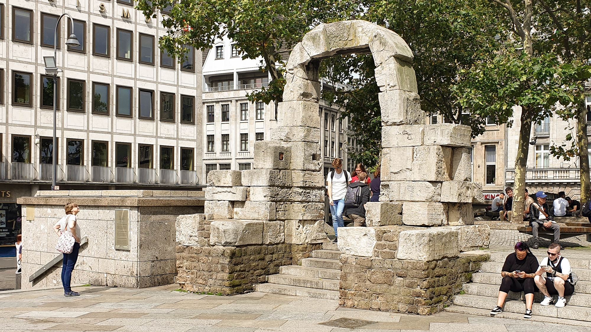
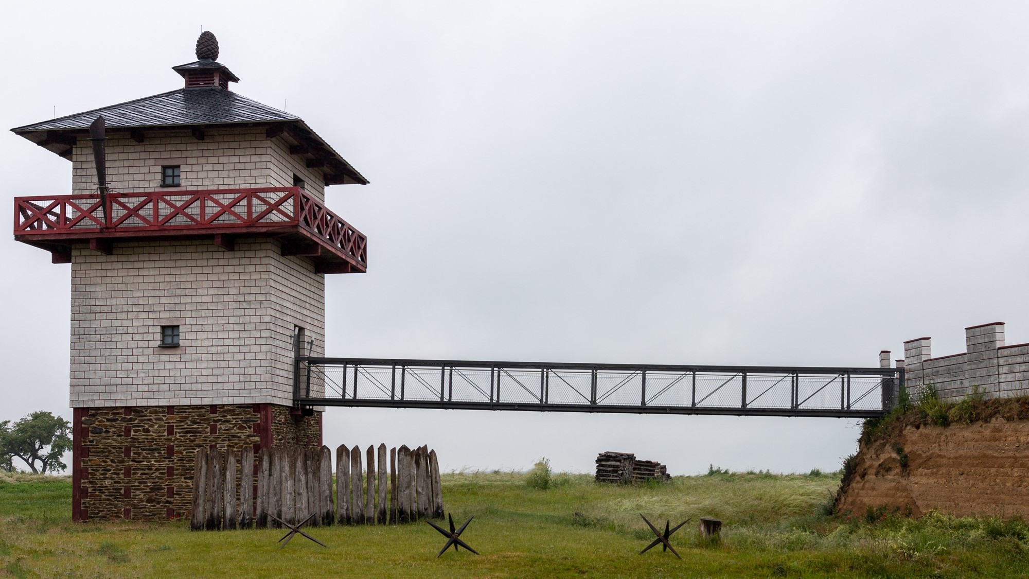
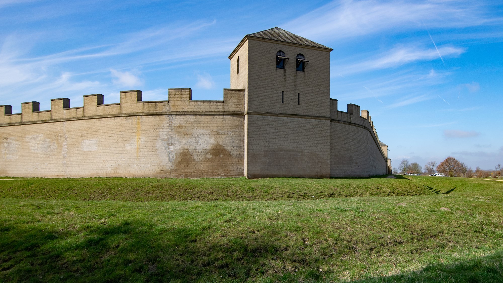
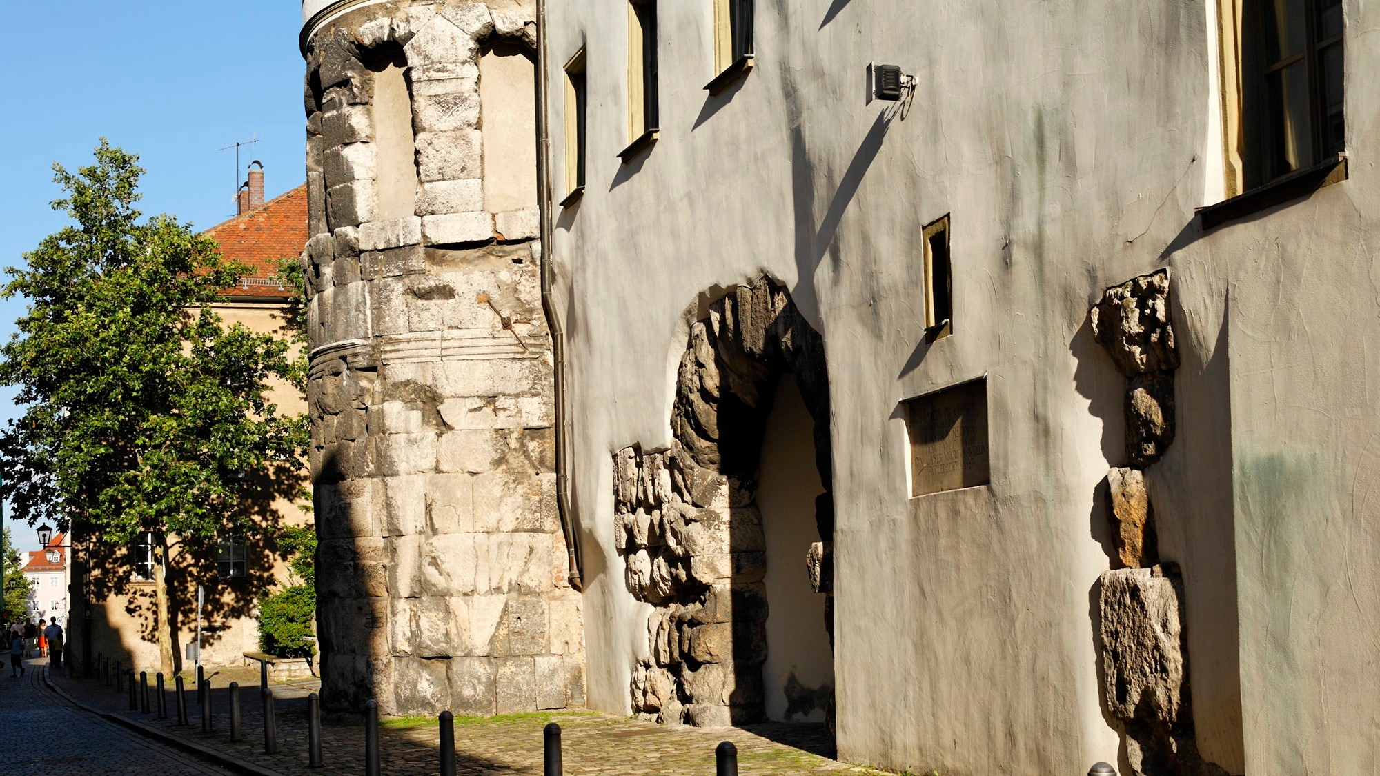
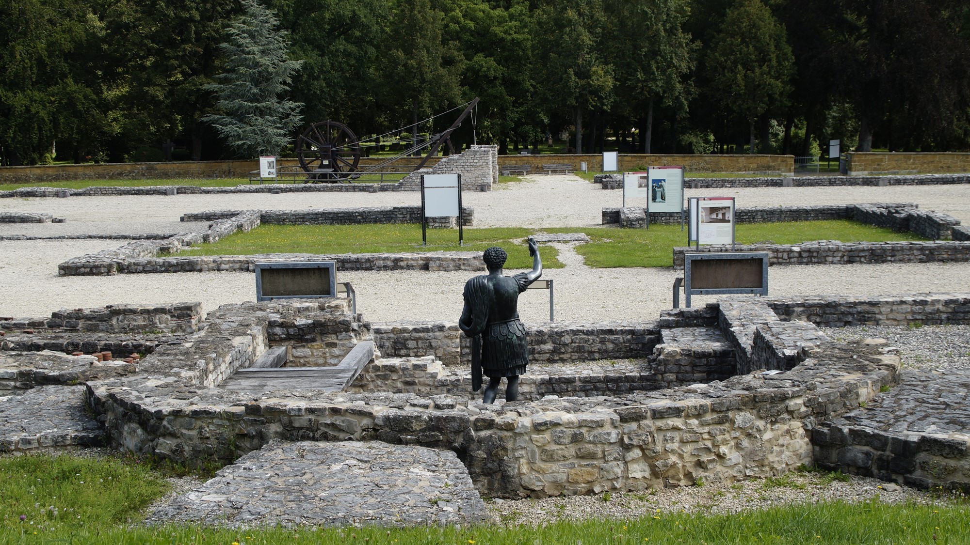
Although the boundaries of the Roman Empire never overlapped with much of what is Germany today, there are still many magnificent Roman archaeological sites to visit. The preservation of some is quite spectacular, such as Trier’s Constantine basilica. Many of these sites, from small forts to large settlements, are situated along the Rhine and Danube Rivers, the Limes Germanicus – frontier of the Roman Empire.
A statue of Augustus stands at the Porta Praetoria of Saalburg Fort.
The Roman fort of Saalburg, also Römerkastell Saalburg, was a frontier fortification on the Upper German Limes just northwest of Bad Homburg, Hesse. The earliest excavations were carried out in the 1850s. In 1897 Kaiser Wilhelm II ordered a reconstruction of the fort, the result a near complete reconstruction of a Roman fort. Displays in the buildings use artefacts from the fort to give an idea of life in Roman times here. There are also artefacts from nearby sites such as the exquisite gilded bronze head of a horse from Waldgrimes.
Find Saalburg on an Interactive Map: Germany | Roman World
Official Website
Trier’s Porta Nigra, the largest known Roman gate north of the Alps.
Founded by the Romans around 16 BC Trier is said to be the oldest city in Germany. By the 4th century AD, as one of the tetrarchy, it was one of the largest cities in the Empire, and known as ‘the second Rome’. Trier also has some extremely well preserved Roman remains. These include a bridge over the Moselle, an amphitheatre, bath houses and the basilica built for Constantine at the beginning of the 4th century. Together with two medieval cathedrals these Roman monuments have been included on the UNESCO list of World Heritage Sites.
Find Trier on an Interactive Map: Germany | Roman World
Remains of a Roman aqueduct, known locally as Römersteine (Roman stones).
What started out as a strategically positioned Legionary base developed into a regional administrative and military centre. Mogontiacum often served as a military base for Roman incursions into the north and east of Germany. Its position on the Rhine, at the mouth of another major navigable river – the Main, made the town very attractive to traders who set up a port. Besides a few good museums, there are a number of Roman ruins to see in Mainz, including the remnants of an aqueduct, and the foundations of a temple.
Find Mainz on an Interactive Map: Germany | Roman World
Reconstructed eastern corner of the wall and tower, surrounded by ditches.
The archaeological park on the edge of the medieval town of Xanten was built on the ruins of the Roman settlement Colonia Ulpia Traiana, on the banks of the Lower Rhine. Founded in 70 AD, the Roman town was the second most important commercial post in Germania Inferior, after Cologne. In 275 AD it was completely destroyed by Germanic tribes, and rebuilt as Tricensimae. That too was destroyed by local tribes. A number of features have been reconstructed in the park, including an amphitheatre, bath house and defensive wall.
Find Xanten on an Interactive Map: Germany | Roman World
Official Website
A pedestrian arch from the north gate of the Roman wall.
Colonia was always an important town for the Romans; the capital of the province of Germania Inferior and later the capital of Germania Secunda. The regional headquarters of the military in the region was based here. There are a number of features to see in the city, including sections of the wall and towers. The Roman museum, exhibitions are currently in a temporary location, was built on the foundations of a townhouse and displays its mosaic floor of Dionysius.
Find Colonia on an Interactive Map: Germany | Roman World
The suspected site of the Battle of Teutoburg Forest.
The site of the Battle of Teutoberg Forest is thought to be near the village of Kalkriese in Lower Saxony. Said to be one of the most important defeats suffered by the Romans, it was here local Germanic tribes ambushed the Romans so ending Augustus’s expansion of the Roman Empire. Visitors can see all aspects of the battle played out in state-of-the art exhibitions, view the battlefield from a tower and walk through an archaeological excavation and reconstruction of the landscape at the time of the battle, in 9 AD.
Find Varusschlacht on an Interactive Map: Germany | Roman World
Official Website
Remains of the Porta Praetoria in Regensburg, Bavaria.
Casta Regina was the Roman name for a 2nd century AD military fort on the Danube River, a city we know today as Regensburg. Very little of this fort has survived. One feature being a gate from the northern walls of the fort; one of the few surviving Roman gates north of the Alps. The stone from much of the Roman fort, like elsewhere, was used in the construction of later buildings. The reason the north gate survived is because it was partly integrated into the Bishop’s court in the mid 17th century. The distinctive Roman masonry can still be seen.
Find Porta Praetoria on an Interactive Map: Germany | Roman World
Reconstructed walls of the main villa complex overlooking vineyards.
In 1981 the remains of a Roman Villa were excavated, and the walls partly reconstructed. Excavations revealed a wine press, and the slopes on which the villa’s ruins are found are still used to grow vines today. The earliest habitation is thought to have been around 50 BC, but construction of the main stone-built villa began in the 2nd century AD. The site was abandoned by the 5th century. In all the Roman site is about 7.5 hectares. Today the site, which includes a reconstruction of the main house, is an open air museum.
Find Weilberg Villa on an Interactive Map: Germany | Roman World
Local Museum Website