In researching what our readers want from our use of maps on Archaeology Travel, we found that a surprising number of people not only did not know how they can use Google Maps to explore archaeology and history sites around the world, many did not even know they could do this. Did you know it was even possible to ‘enter’ a number of well known and important museums, from Mexico City to Museuminsel. Whether we like it or not virtual reality is a thing. And if anything sustains a passion for archaeology and travel, we believe that is a good thing. So if you find yourself with a lot of time on your PCs, laptops or mobile devices, why not explore some of the best archaeology and history sites and museums on those very devices. Here are ten of Thomas’ favourite archaeological sites and museums on Google Street View, along with detailed instructions for first time virtual wanderers. Where will you go?
GET DIRECTIONS
FROM
TO
Add Waypoint
SHOW OPTIONS
GET DIRECTIONS
The map pinpoints 10 archaeological and historical sites (red markers) and 10 museums and art galleries (blue markers) around the world that can be explored virtually on Google Street View. Zoom in on a marker by clicking on the + button in the lower right-hand corner of the screen. If you are new to using Google Maps and Google Street View, scroll to the end of this article for step-by-step guidelines.
GOOGLE STREET VIEW
Google Street View is a wonderful tool for the armchair archaeologist and traveller. In upgrading the functionality of the maps on Archaeology Travel we have found that not only do many of our readers not know how to explore archaeological and historical sites and museums on Google Maps, many do not even know it is possible. So what is this all about then?
One of the many ‘Google Cars’ taking photographs of the streets it drives along.
The Google Street View Car: a camera system mounted on the roof of the car captures images in a full sweep of 360° as the car moves along. This system was adapted onto a tricycle for creating a street view of Stonehenge, and has been used at many other archaeology sites and historic monuments where a vehicle can not be used.
Google’s Street View is a virtual representation of our world on Google Maps, which enables you to explore in a virtual setting almost anywhere in that world on your desktop and mobile devices. There are two components to these interactive, 3D maps: photos taken by Google’s cars and contributors who submit 360° photographs to the platform. According to Google there are millions of these 360° photographs, taken in all sorts of places. These give a very good idea of what the site is like.
So not only is it possible to get a great view of archaeology sites from above, it is also possible to ‘immerse yourself’ in the landscape and get a 360° view of the place. This technology is not restricted to the outdoors. From the comfort of your desktop or mobile device you can even go inside some of the more well known museums around the world and wander about their galleries.
Of course there really is nothing like exploring these places for ourselves in the real world. But for many different reasons, this is not always possible.
Right now, in March 2020, the world is in the grips of the coronavirus pandemic (COVID-19). In many countries public spaces including monuments and museums are closed to the public and people are being encouraged to stay at home to reduce the number of people becoming infected. Some countries have resorted to more drastic measures in their attempts to slow the spread of the virus. Borders have all but closed to non-residences. Travel is not possible, even if you have the means to.
We might not be able to travel, but we can still explore and visit archaeology and history sites around the world, as well as going into a handful of some of the more important museums and art galleries. Even if only virtually, online. Here are my top 10 archaeological and historical sites and top 10 museums that I feel are particularly rewarding to explore in Street View. If you do not know how to do this, scroll to the bottom of these two lists where I provide detailed, step-by-step instructions.
Please Note: the images below are screengrabs to show the process, they are not Google Maps. Either use the map above, or open Google Maps in another browser tab.
10 ARCHAEOLOGY AND HISTORY SITES ON GOOGLE STREET VIEW
ANGKOR WAT, CAMBODIA
Archaeology Travel | See the Best Sites & Museums Around the World On Google Street View | 33
ARLES, FRANCE
The Roman amphitheatre and theatre in Arles on Google Street View.
CHICHÉN-ITZÁ, MEXICO
Archaeology Travel | See the Best Sites & Museums Around the World On Google Street View | 34
Information about visiting Chichen Itza, buying tickets, guided tours and day trips >>
Find Chichen Itza on our Interactive Map of Mexico >>
EPHESUS, TURKEY
Archaeology Travel | See the Best Sites & Museums Around the World On Google Street View | 35
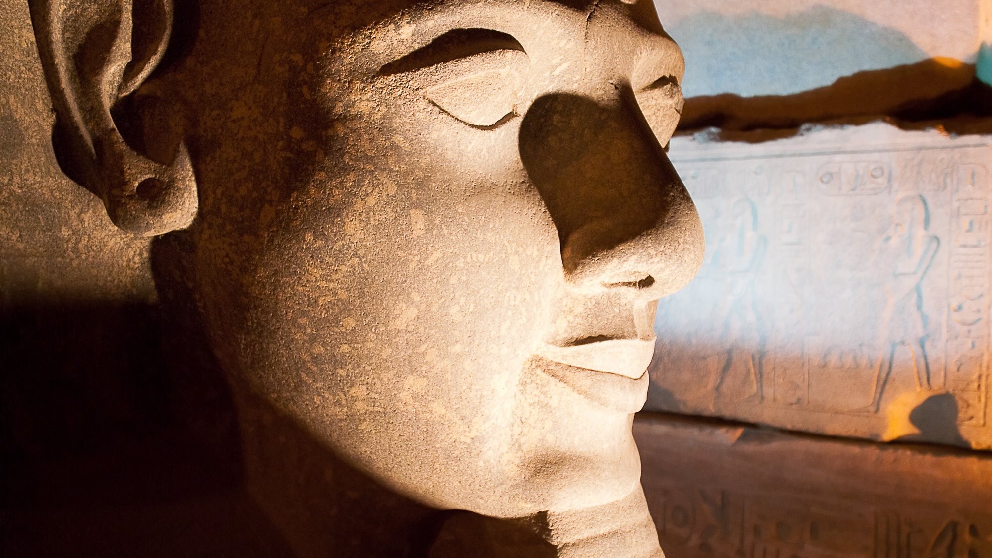
GIZA PYRAMIDS, EGYPT
An aerial view of the pyramid complex at Giza, Egypt from Google maps.
GREAT WALL, CHINA
Archaeology Travel | See the Best Sites & Museums Around the World On Google Street View | 36
MACHU PICCHU, PERU
An aerial view on Google maps of Machu Picchu.
PETRA, JORDAN
Petra, or the Rose City, on Google Street View.
ROBBEN ISLAND, SOUTH AFRICA
Archaeology Travel | See the Best Sites & Museums Around the World On Google Street View | 37
ROMAN FORUM AND COLOSSEUM, ITALY.
Archaeology Travel | See the Best Sites & Museums Around the World On Google Street View | 38
10 MUSEUMS ON GOOGLE STREET VIEW
ANNE FRANK HOUSE, AMSTERDAM
Archaeology Travel | See the Best Sites & Museums Around the World On Google Street View | 39
ARTHUR M. SACKLER GALLERY, SMITHSONIAN, WASHINGTON DC
Archaeology Travel | See the Best Sites & Museums Around the World On Google Street View | 40
CAPITOLENE MUSEUMS, ROME
Archaeology Travel | See the Best Sites & Museums Around the World On Google Street View | 41
GETTY CENTER, LOS ANGELES
Archaeology Travel | See the Best Sites & Museums Around the World On Google Street View | 42
MUSÉE D’ORSAY, PARIS
Archaeology Travel | See the Best Sites & Museums Around the World On Google Street View | 43
MUSEUMINSEL, BERLIN
Aerial view of Museuminsel, Berlin from Google Street View.
NATIONAL MUSEUM OF ANTHROPOLOGY, MEXICO CITY
Archaeology Travel | See the Best Sites & Museums Around the World On Google Street View | 44
RIJKSMUSEUM, AMSTERDAM
Archaeology Travel | See the Best Sites & Museums Around the World On Google Street View | 45
UFFIZI GALLERY, FLORENCE
Archaeology Travel | See the Best Sites & Museums Around the World On Google Street View | 46
VAN GOGH MUSEUM, AMSTERDAM
Archaeology Travel | See the Best Sites & Museums Around the World On Google Street View | 47
HOW TO USE GOOGLE STREET VIEW TO VISIT SITES AND MUSEUMS AROUND THE WORLD?
As I am often asked how to access Street View and look at archaeology sites, below I set out step-by-step instructions for laptops and PCs. For some readers these steps will be basic and obvious, this is not so for everyone.
Although it is possible to get the same 360° experience on tablets and smartphones, I think it is much better done on a PC or a laptop. I use Google Chrome, so it is easy to open Google Maps in the browser. If you do not already know, click on the nine dots for Google Apps in the top right-hand corner, and choose maps. If you do not use Google Chrome, search for ‘Google Maps’ – it should be the first search result.
Once you have Google Maps open in your browser, switch the map from Map view to Satellite view by clicking on the ‘Satellite’ box in the lower left-hand corner of your screen. Then all you have to do is add the name of the place you want to virtually visit, to boldly go.
For these guidelines I have chosen Richborough Fort in the south east of England. The image below is what you will get: a wonderful aerial view of a very well preserved Roman fort and the Saxon walls that were built later. Zoom in an out of the map using the + and – buttons in the bottom right.
Please Remember: the images below are screengrabs to show the process, they are not Google Maps. Either use the map above, or open Google Maps in another browser tab. Do not try and grab the Pegman icon, it wont move!
Archaeology Travel | See the Best Sites & Museums Around the World On Google Street View | 48
To explore the site in 360° view, click on the yellow human icon, known as Pegman, in the bottom right hand corner (see the red arrow in the screengrab above). When you click on Pegman light blue lines and dots will appear on the maps. The lines represent the paths taken by the Google Street View car or tricycle, and the dots are 360° photographs that have been uploaded by contributors.
If you have a slow connection this may take a while. If no lines and dots appear, there are no 360° photographs for the area you are zoomed in on. If you only see dots, it means Google’s cars have not travelled down those roads capturing data.
Archaeology Travel | See the Best Sites & Museums Around the World On Google Street View | 49
Click and hold Pegman by keeping the right-hand mouse button depressed, and drag the icon onto the map (see the red circle above).
When you have the icon positioned above a line or a dot, a small square with a photograph will appear below Pegman (see below). Let go of Pegman and it will drop on to the map. A 3D image will show the site from the point you dropped Pegman.
Archaeology Travel | See the Best Sites & Museums Around the World On Google Street View | 50
I dropped Pegman onto a blue line, this enables me to move about the site following the grey arrow on the map (pointed out by the red arrow below). The large arrow points your way through the site, by following the blue line you saw in the previous map. A white X marks the position of that line.
The resolution of the 3D photograph is very good. If the tricycle was on the right side of the information panels, zoom in on these as very often the resolution is that good you can read the text. Unfortunately at Richborough, the camera passed on the wrong side of the information panels scattered about the site. And each point where you stop move the screen about using your mouse to get a truly 360° experience.
Archaeology Travel | See the Best Sites & Museums Around the World On Google Street View | 51
Richborough Fort is a small and relatively simple site. There are only a few light blue dots and single light blue line creating a straight forward route through the site. This is in marked contrast to larger, more complex sites. Compare Richborough Fort with, for example, the Colosseum in Rome (below).
Archaeology Travel | See the Best Sites & Museums Around the World On Google Street View | 52
On the Colosseum there is a network of blue lines allowing you to follow different paths through the amphitheatre. There are also many, many more dots; many more people visit the Colosseum taking 3D photographs and uploading these to the platform. On sites like the Colosseum, as you zoom in you will see more and more blue dots. Given the density of options (lines and dots) I find it easier to zoom in quite a bit before trying to place Pegman.
Archaeology Travel | See the Best Sites & Museums Around the World On Google Street View | 53
You can tell when Pegman is on a dot or on a line as a small square photo will show up just below – see the photo below Pegman in the photograph above. A note of warning, the blue dots are not always accurately placed. In some cases the placement of the blue dot on the map is more obviously wrong than others.
Archaeology Travel | See the Best Sites & Museums Around the World On Google Street View | 54
An immediate way to tell whether Pegman has landed on a dot or a line is to look at the box in the top left-hand corner of your screen. When you see a person’s name with a profile photograph, Pegman has been placed on a blue dot – a 360° photograph. This means you can only view the site from a single spot – but you do have a 360° view so scroll the photo using your mouse. When the box in the top left has Google in it – you have placed Pegman on a blue line and you can move through the site following the arrow as described above.
Archaeology Travel | See the Best Sites & Museums Around the World On Google Street View | 55
As these photographs are truly 360° remember to look up and down, not just straight ahead. This might not be such an issue at sites like Richborough Fort, but it is certainly something to do for the Colosseum.
Archaeology Travel | See the Best Sites & Museums Around the World On Google Street View | 56
Unfortunately, not all of our great heritage sites have the blue paths through them to allow us to walk through them virtually. The Acropolis in Athens is one such site. You can get some good views of the Acropolis from the streets below it. Your virtual experience of the Acropolis then is limited to 360° photographs. Although there are many of them.
Let us know what you think of these instructions. They can be easily edited to add in any steps overlooked, or instructions that are not clear. If looking at archaeology sites on Google Maps is not something you have done, I think you are in for a treat. Maps have always fascinated me; I can stare at them for hours. For me, Google Maps and Street View is no different. Although it does give me a chronic case of wanderlust for which there is only one cure >>